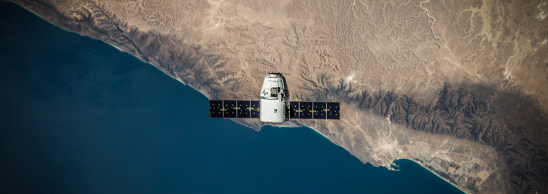
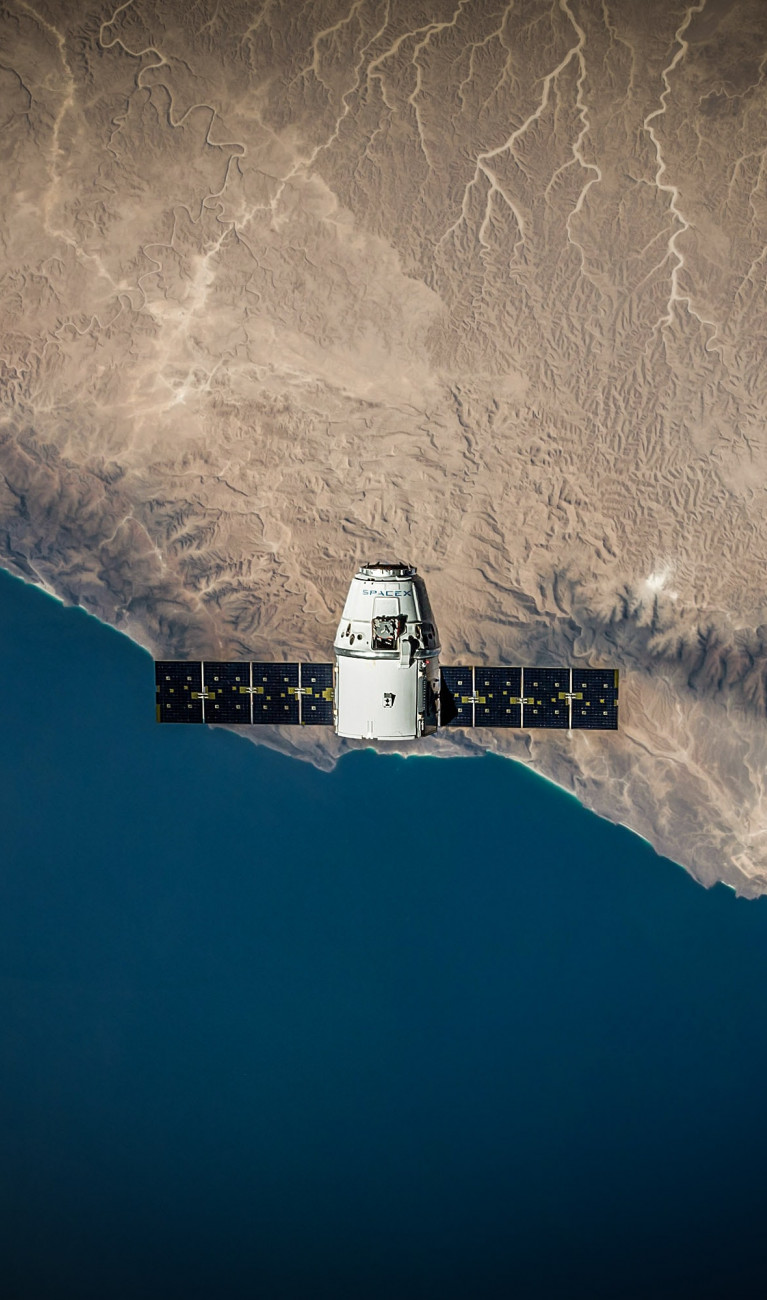
©
spacex / Unsplash
Armed with social media data and satellite images, Dr. Xiaoxiang Zhu and her team at the German Aerospace Center are creating global maps of urban areas that can be used to plan and manage urbanization in the era of global and climate change.